TRACKAmap offers a custom mapping solution to display your tracking data how you choose
Edit your data simply using a Google spreadsheet*
*Note that InReach data must be modified in the Garmin mapShare application
This is a new feature that is currently being expanded
– Jessie McClybe (Bush plane pilot)”
F.A.Q.
Frequently Asked Questions
What is TRACKAmap?
Who can use TRACKAmap?
How do I setup TRACKAmap?
More details now on the SETUP PAGE
Use the Iridium GO! app or Iridium Extreme display to set the tracking email* and frequency and our software will do the rest. It’s that simple! Your location will automatically be updated to your provided URL*.
*Tracking email details and your URL will be sent to you on purchase
Are there additional costs?
Use of TRACKAmap requires a valid subscription with us, plus a valid plan with a satellite access provider for your satellite device. Each TRACKAmap tracking point uses one SMS and does NOT require a separate tracking (SBD) plan. Plans that provide unlimited SMS will have no extra costs involved, limited plans typically charge USD$0.15-0.25 per additional SMS above what is included in the base amount.
How often does TRACKAmap update?
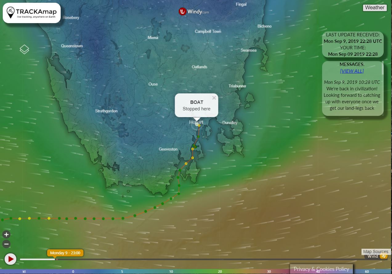
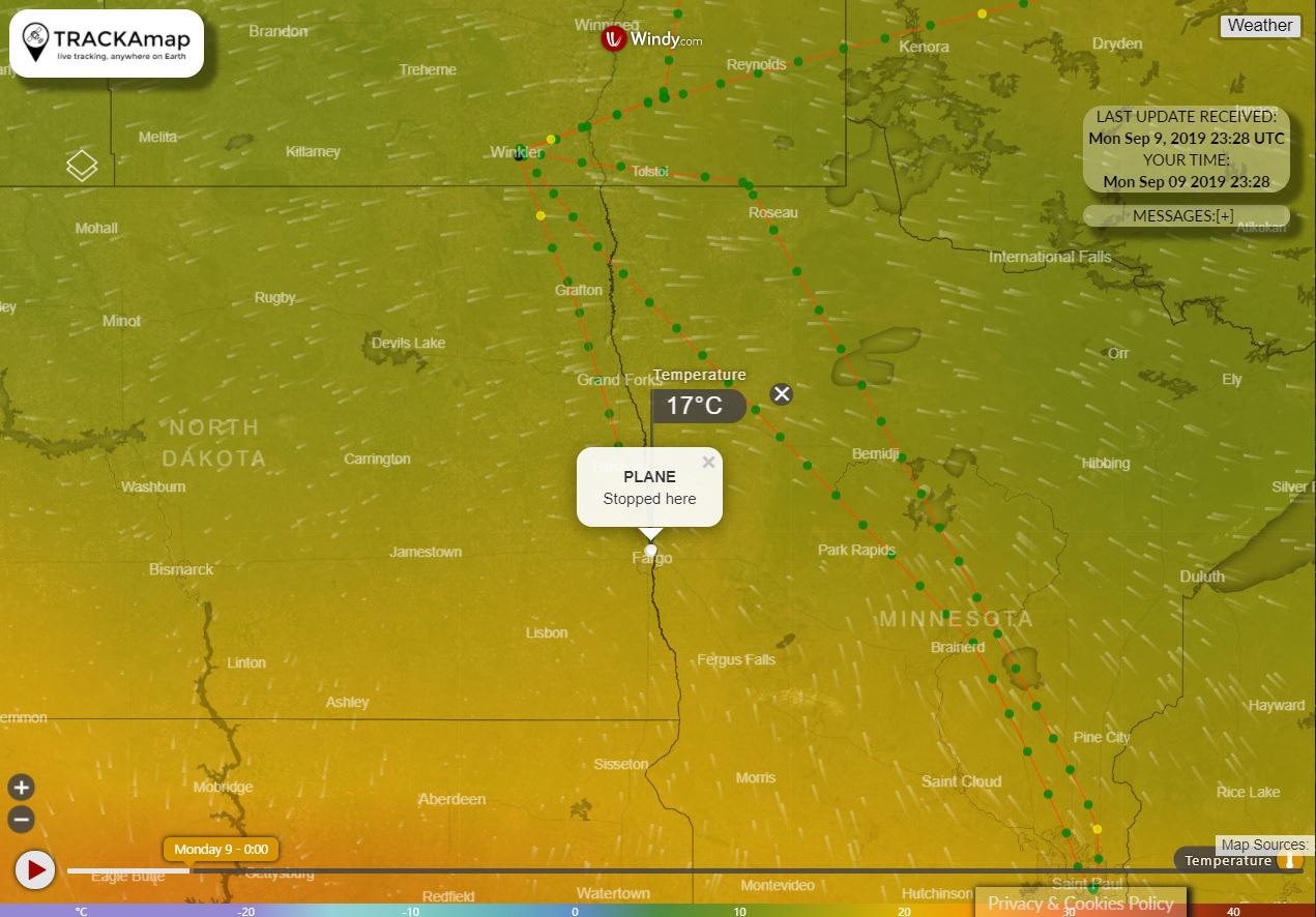
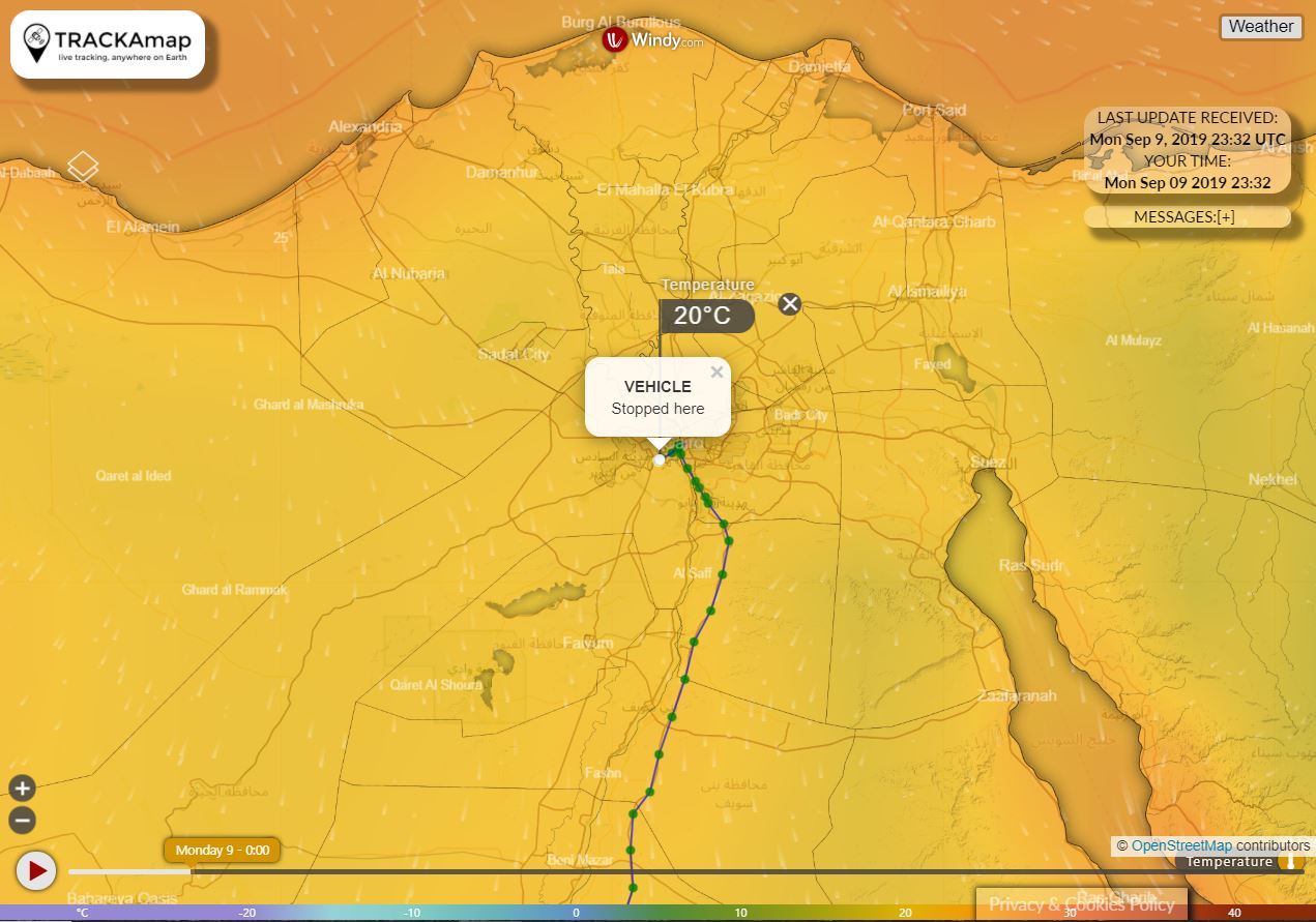
Where can I track myself?
*Note that Google Maps does not entirely display the extreme north (Arctic) or south (Antarctic). If you are travelling beyond the limits of the map we can provide a KML link for live viewing of your location in Google Earth.
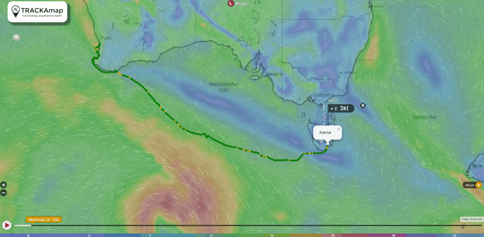
Why are the dots different colors?
Can I modify the map?
Absolutely! Contact us and we can provide information on adding, removing or modifying tracking points.
Can I remove tracking points?
Absolutely! Contact us and we can provide information on adding, removing or modifying tracking points.
Can I add points from my log or another service?
Most likely yes! We offer manual adding of points and can also automatically import from various online services that you may already use. Contact us and we’ll look into your specific needs.
Can I download my data?
Yes, contact us and we will provide you with tracking data in a variety of formats suitable for use in other mapping software.
Can I use other satellite phones?
We are in the final stages of testing the InReach. please contact us if you would like to be involved in the testing process.
If your device is capable of sending an SMS with location data we may be able to incorporate it into the TRACKAmap system. Get in touch and we’ll let you know.
Will I lose other satellite phone services?
TRACKAmap is an extension of the services provided by the Iridium GO! and does not limit your access to SMS, phone calls, email, internet, etc.
Where is the TRACKAmap office located?
What is your phone number, can I call you?
